Startup screen
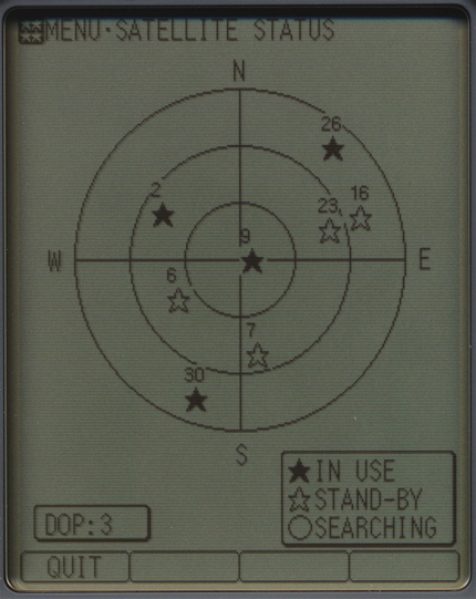
Satellite status
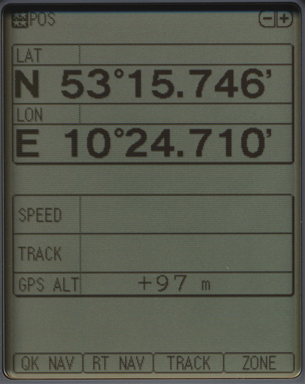
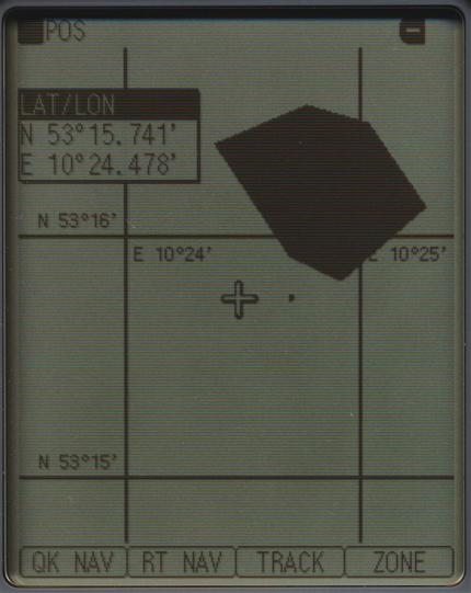
Position screen
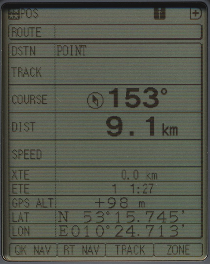
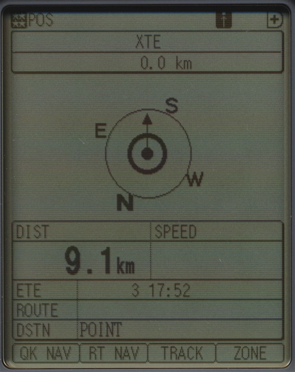
Navigation data screen
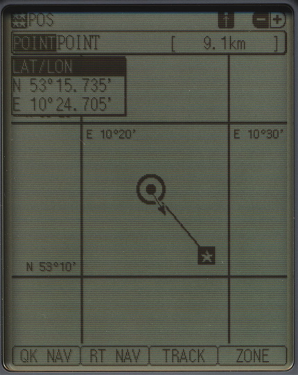
Navigation pointer screen
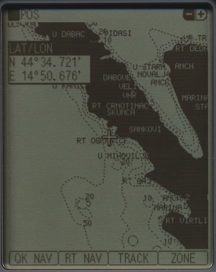
Plotter screen
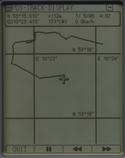
Track display
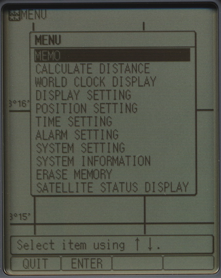
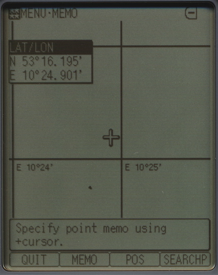
Menu
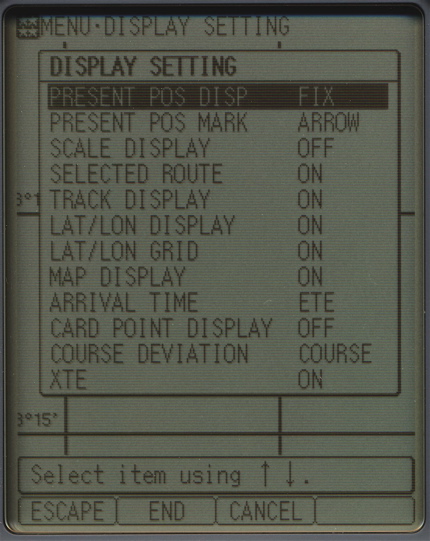
Display settings
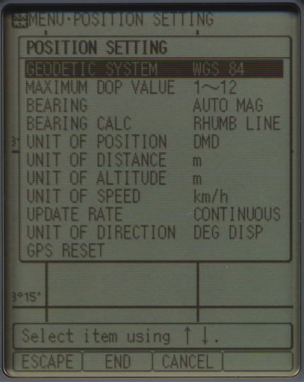
Position settings
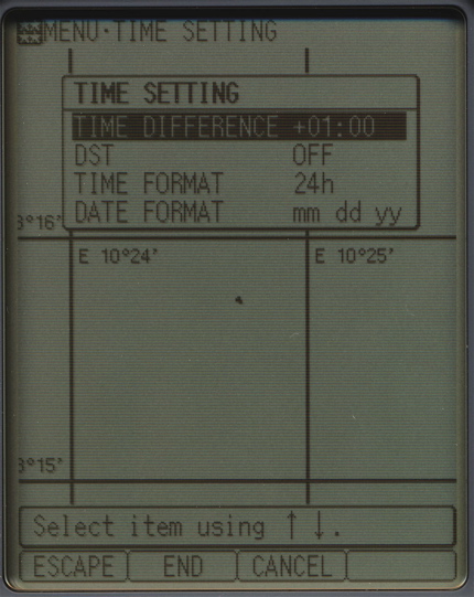
Time settings
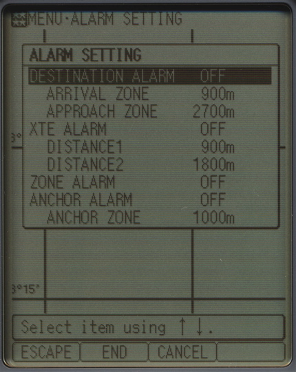
Alarm settings
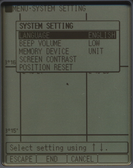
System settings
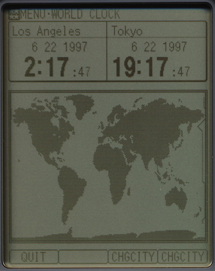
World clock
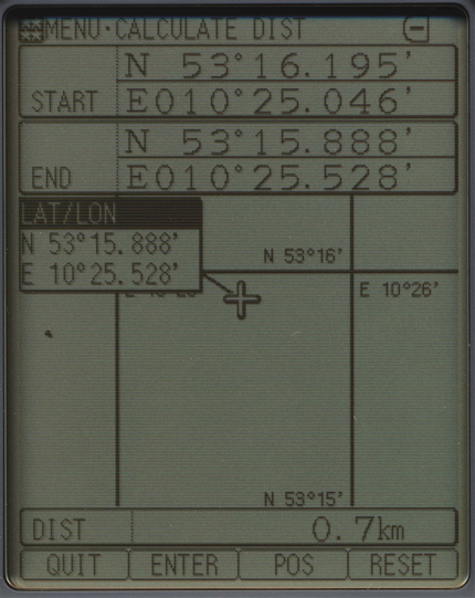
Calculate distance
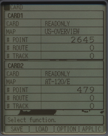
Card information
Defined area
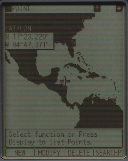
Storing waypoint
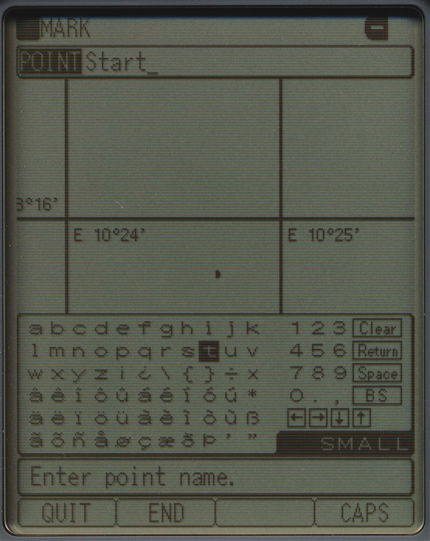
Name input
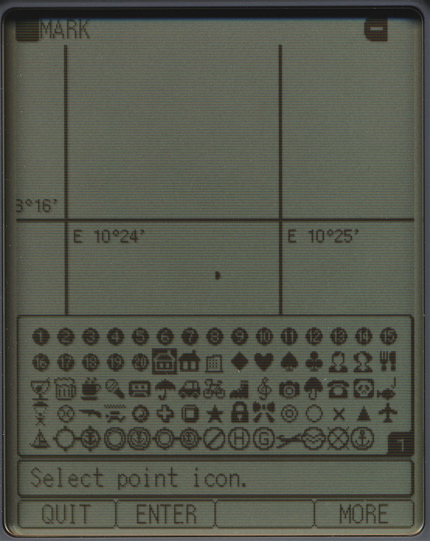
Select icon
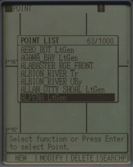
Point list
C-map logo display
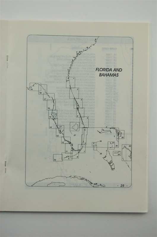
USA overview map
Detailed C-map
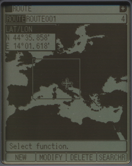
Europe overview map
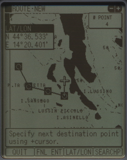
Route definition
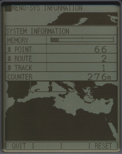
System information
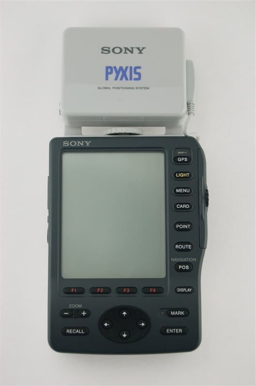
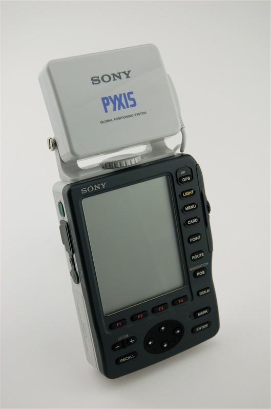
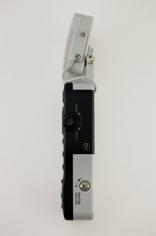
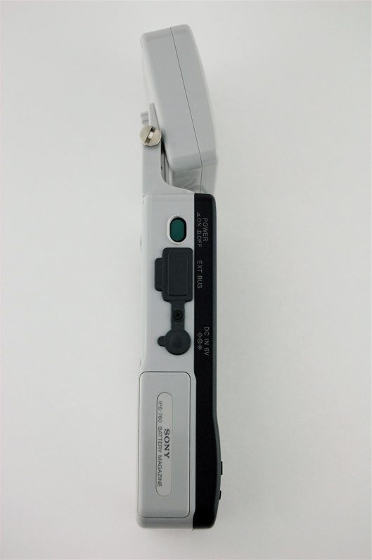
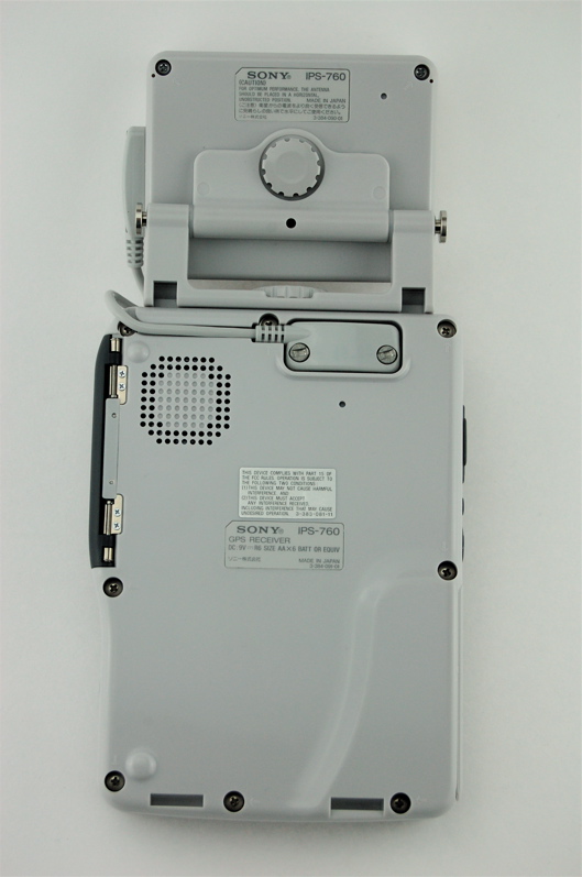
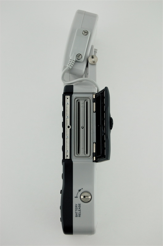
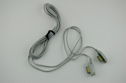
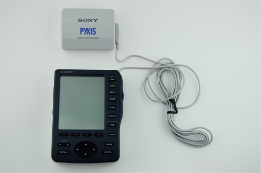
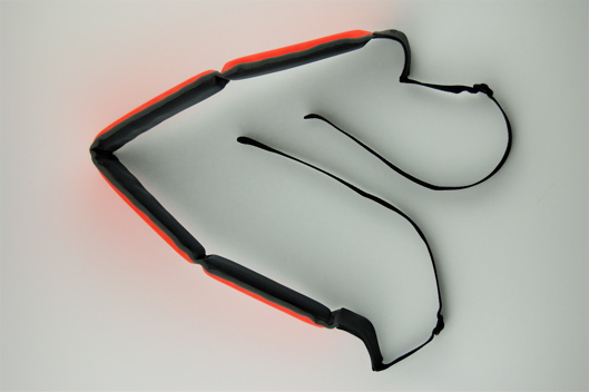
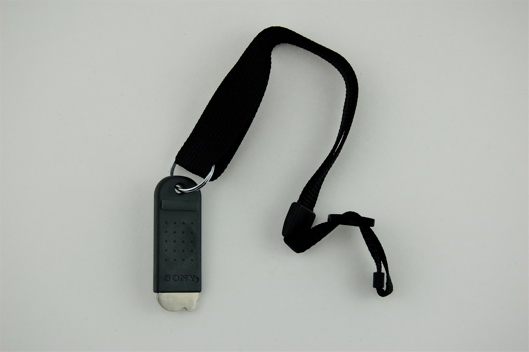
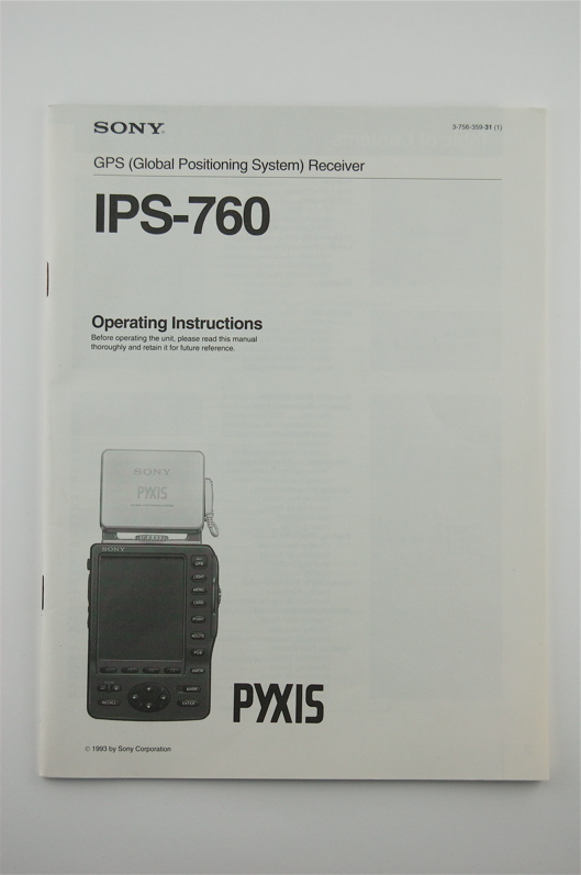
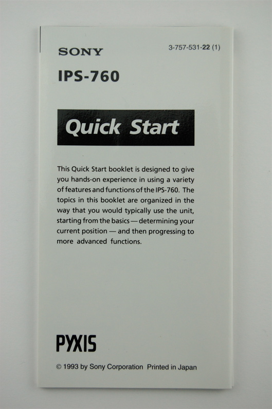
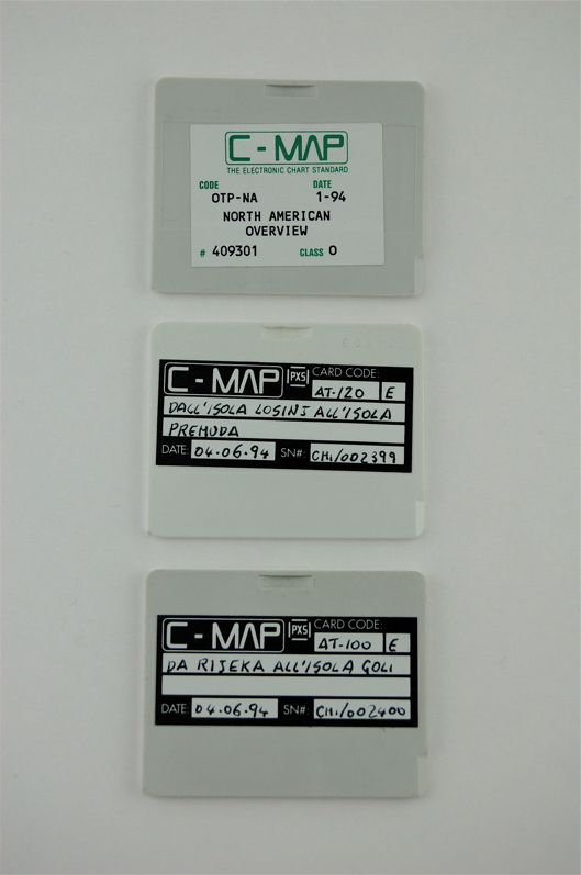
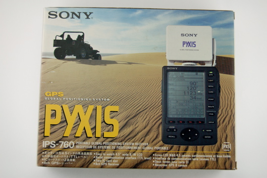
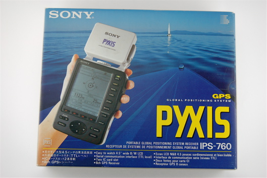
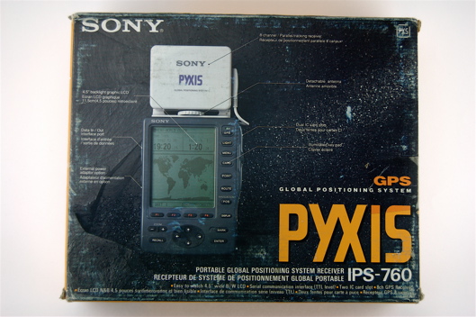
Sony must have shocked any other manufacturer of GPS-units in 1993. They released the first portable GPS-chartplotter, in a time when simple track plotting just began. Sony designed a specific card-type only to be used with the IPS-760. They contained overview maps or detailed maps and navigation waypoint data. Even empty memory cards were available to store waypoints and tracks. Sony announced even the possibility to load applications from data cards. A GPS-unit capable of running apps in 1993! The early release had some disadvantages too. Sony was not very experienced in the navigation market. Therefore the navigation abilities are just average. The human interface is not user friendly. Easy operations like entering or searching waypoints are difficult and time consuming. On the other hand the IPS-760 introduces upper and lower case characters for waypoint names and a large number of various icons can be chosen. The track plotting feature is funny: The track is drawn in slow motion point by point. Changing the screen resolution erases the previously drawn track. A remarkable feature is the ability to define areas which can be used for navigation. The GPS receiver has eight parallel channels, which is advanced for this time too. The GPS-receiving unit may be separated from the display unit and can be used separated by a longer connection cable. The unit aimed at the marine and the aviation market. Land navigation by using the charts is possible, but there is no routing ability. The unit is run by six AA batteries which last about 4 hours. List price was 1699,-$.
Initialization:
The Pyxis IPS-760 initializes fully automatic, there is no user input necessary.
Features:
8 channels parallel
1000 waypoints
50 routes
Zones may contain 20 points, maximum 200 points for all zones
26 map datums
Data output
2 card slots
Dimensions: 230mm x 113mm x 35mm
Weight: 833 g
The Pyxis IPS-760 initializes fully automatic, there is no user input necessary.
Features:
8 channels parallel
1000 waypoints
50 routes
Zones may contain 20 points, maximum 200 points for all zones
26 map datums
Data output
2 card slots
Dimensions: 230mm x 113mm x 35mm
Weight: 833 g