
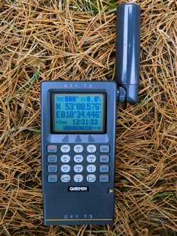
Garmin GPS 75 - 1993
8 channel multitrac
250 waypoints
10 routes
Data navigation screen
CDI screen
Plotter screen
Data in / output
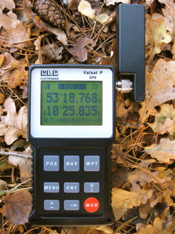
MLR Valsat P - 1996
8 channel parallel
4 position screens
3 data navigation screens
highway navigation screen
400 waypoints
10 routes
Data in / output
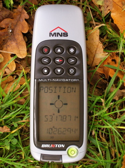
Brunton MNS
12 channel parallel
Alphanumeric display with
graphical elements
1000 waypoints
10 routes
Altimeter
Compass
Data in / out
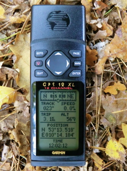
Garmin GPS 12XL - 1998
12 channel parallel
Plotter screen
Compass navigation screen
Highway navigation screen
500 waypoints
20 routes
City database
Data in / output
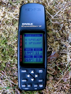
Eagle Expedition II - 1997
12 channel parallel
Compass navigation screen
Data navigation screen
Plotter screen
750 waypoints
50 routes
NMEA output
DGPS input
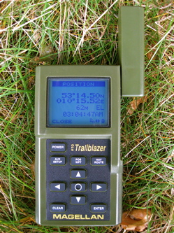
Magellan Trailblazer - 1994
12 channel sequential
2 Data navigation screens
Pointer navigation screen
100 Waypoints
1 Route
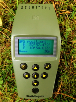
Trimble Scout M - 1994
3 channel parallel
Alphanumeric display
Data navigation screen
100 waypoints
3 routes
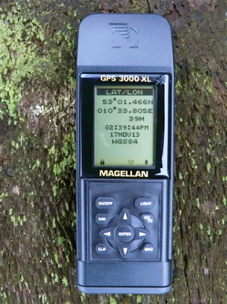
Magellan GPS 3000 XL -
200 waypoints
5 routes
2 data navigation screens
Highway navigation screen
Pointer screen
Plotter screen
Eagle Explorer - 1996
12 channel parallel
Compass navigation screen
Data navigation screen
Plotter screen
250 waypoints
20 routes
Data in / output
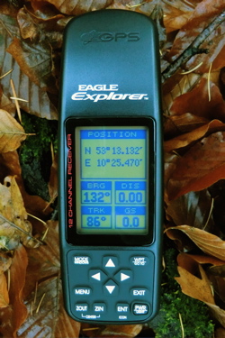
Magellan Meridian - 1994
12 channel sequential
2 Data navigation screens
Pointer navigation screen
100 Waypoints
1 Route
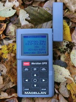
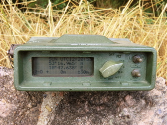
Trimble Trimpack - 1990
3 channel parallel
Alphanumeric display
Data navigation screen
Range azimuth screen
26 waypoints
Data output
Garmin GPS 45 - 1994
8 channel MultiTrac
Plotter screen
Highway navigation screen
250 waypoints
20 routes
Data output
DGPS input
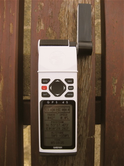
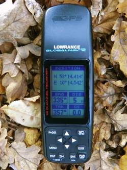
Lowrance Globalnav 12 - 1998
12 channel parallel
Compass navigation screen
Data navigation screen
Plotter screen
25 waypoints
20 routes
Data output
DGPS input
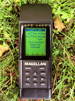
Magellan GPS 4000 - 1996
12 channel sequential
Plotter screen
Pointer / highway navigation screen
Data navigation screen
200 waypoints
5 routes
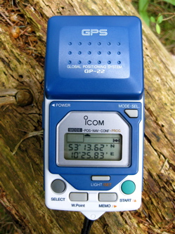
Icom GP-22 - 1993
5 channel parallel
Alphanumeric display
99 waypoints
9 routes
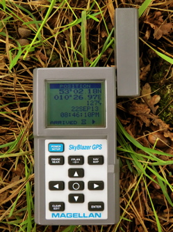
Magellan Skyblazer - 1994
12 channel sequential
TSI navigation screen
Map screen
Data navigation screen
500 waypoints
10 flight plans
E6B calculations
Avionic Database
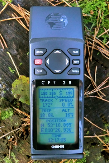
In the year 1998 I discovered that an electronic distributor sold handheld navigation equipment. It was described as working world-wide, being satellite-powered and able of an accuracy measured in meters. I was sort of shocked! Is that possible? Did I misunderstand something? Affordable handheld world-wide precise navigation? I didn't have the need of navigating a boat and didn't plan to explore a desert, but I was very fascinated of the ability of the GPS-system.
After a short time I felt the urgent need of purchasing such a navigation-tool. Although I was studying and hadn't much money I went to the next outdoor shop and asked for this futuristic technology. I bought a Garmin GPS 38. Eight channels, ultrasonic sealed, dry nitrogen filled, a graphic plotter, DGPS-ready, wow!
I spent much time just hiking around, saving waypoints, watching the plotter screen. In the year 2003 I discovered geocaching and was very glad of finding a purpose for this technology. I used the good old GPS 38 for two more years, then I wanted units with better satellite reception and map ability.
But I didn't forget my early GPS-experience and after a couple of years I remembered my first GPS unit. And following this path I discovered the fascinating world of early GPS handhelds. Because there is little information available I decided to create this website.
1989 Magellan manufactured the first commercial handheld GPS receiver, the NAV 1000. Huge as a brick it weighted only 0.7 kg. Just in time for the completion of the GPS-satellite constellation technology reached the ability of providing handheld machines to use this system.
A new category of navigation utility had to be developed. How could these units look like? What are the functions? What kind of human interface is needed? This is what makes the history of early GPS-units interesting for me. How did this technology evolve?