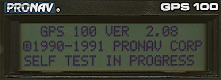
Startup screen
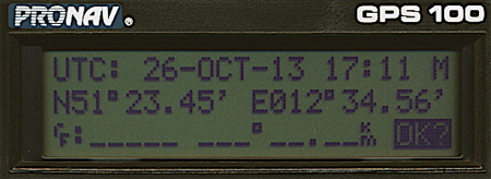
Initialization screen
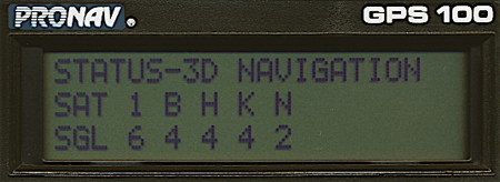
Status screen
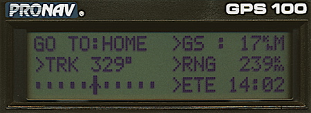
Navigation screen
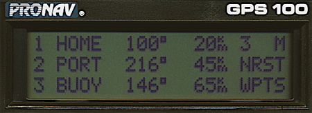
Nearest waypoints screen
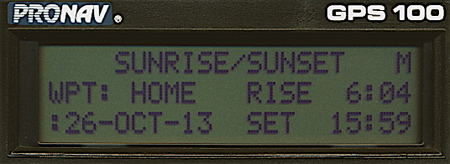
Sunrise / sunset screen
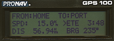
Trip plan screen
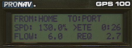
Fuel plan screen
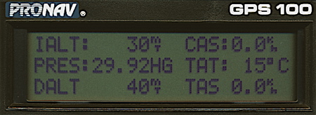
Dalt / tas screen
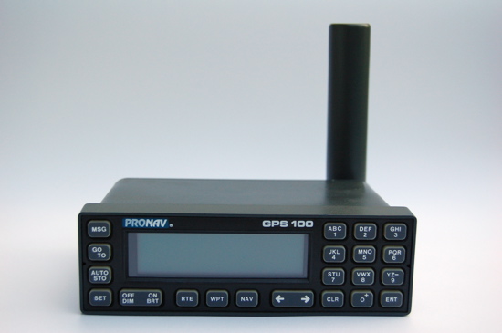
The Pronav GPS 100 was the very first GPS-unit built by Garmin. ProNav was the company name in the beginning. There were problems with the rights of the name and the founders wanted to produce GPS-units not only for professional users. So "ProNav" what sounded like "Professional navigation" was changed to "Garmin". The names of the founders were used to form this trademark: Gary Burrell and Min H. Kao. This explains why there are Pronav GPS 100 and Garmin GPS 100 units.
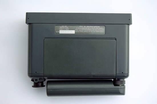
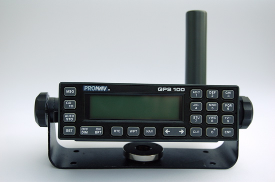
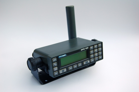
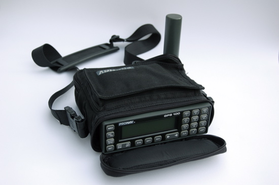
The GPS 100 was meant to be an universal navigation unit. There are examples for marine and avionic purposes described in the manual. The GPS 100 is a very basic navigational aid. It processes and displays data that has to be interpreted by the user. The unit could be used for fixed and portable use. A gimbal mount for marine use and a rack for avionic use were available. But there was a carrying case available too, although this is not really a handheld unit. A NiCad battery pack or a battery case could be used for portable operation.
The GPS 100 has a text display, the only graphical element is a CDI-scale on the navigation screen. 250 waypoints and 10 routes could be stored in the memory. The GPS 100 can be customized by the user by choosing several distance and speed units. 16 map datums are available.
The unit can display the sunrise and sunset at a given position. 9 proximity waypoints can be stored in the memory. The GPS 100 warns the user if a defined alarm circle around these waypoints is crossed.
Special avionic features are included. The total air speed, effect of the wind or vertical navigation can be computed. The GPS 100 has a data output that could be used for external plotters or an auto pilot.
The satellite receiver is a single channel multiplexer called "MultiTrac".
Initialization:
The GPS 100 forces the input of date / time and an initial position. Then the unit searches for a satellite for loading the almanac. When satellites appear to be in the orbit the GPS 100 tracks them and computes a position.
Features:
250 waypoints
10 routes
9 proximity waypoints
Nearest waypoints search
Sunrise / sunset calculation
Waypoint projection
Distance / bearing between two waypoints
Simulator for home training
Fuel calculation
Aviation calculations
2 timers
Anchor watch alarm
Data in and output
16 map datums
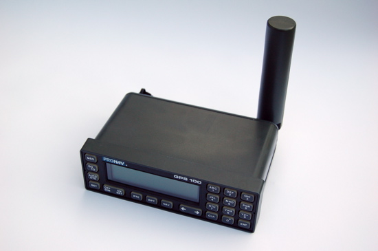
Detachable quadrifilar antenna
External antenna connector
Alarm beeper
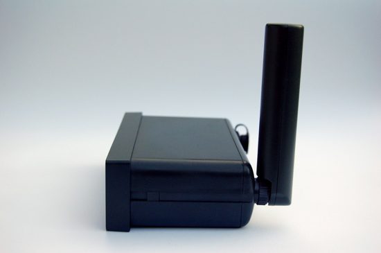
Dimensions: 159mm x 100mm x 51mm
The GPS 100 forces the input of date / time and an initial position. Then the unit searches for a satellite for loading the almanac. When satellites appear to be in the orbit the GPS 100 tracks them and computes a position.
Features:
250 waypoints
10 routes
9 proximity waypoints
Nearest waypoints search
Sunrise / sunset calculation
Waypoint projection
Distance / bearing between two waypoints
Simulator for home training
Fuel calculation
Aviation calculations
2 timers
Anchor watch alarm
Data in and output
16 map datums
Detachable quadrifilar antenna
External antenna connector
Alarm beeper
Dimensions: 159mm x 100mm x 51mm