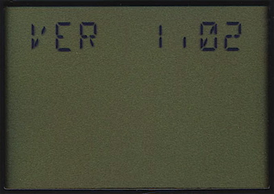
Startup sequence 1
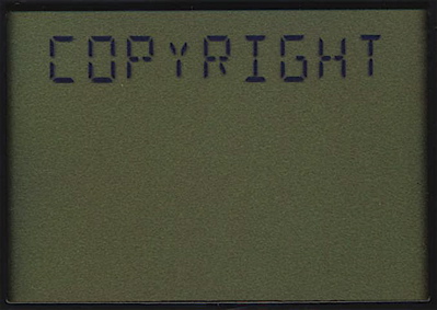
Startup sequence 2
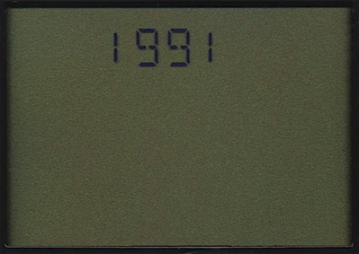
Startup sequence 3
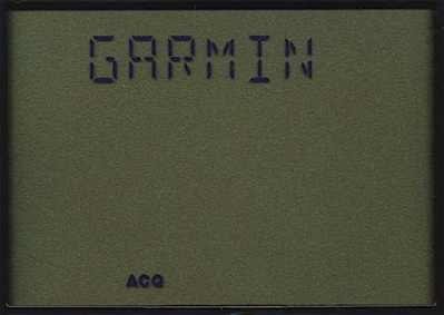
Startup sequence 4
Satellite status screen
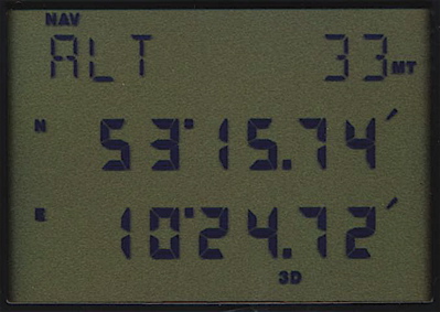
Position screen
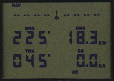
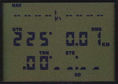
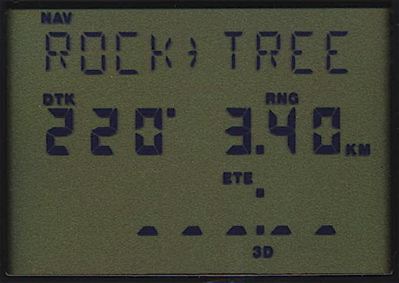
Navigation data screen
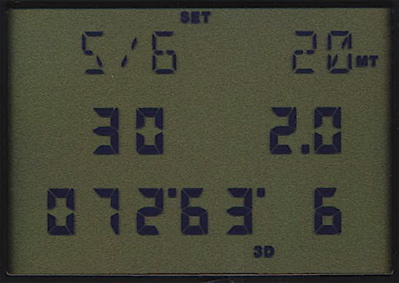
Customized navigation data screen
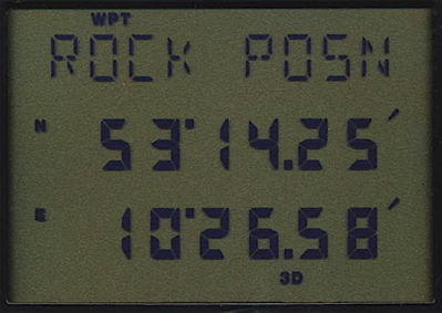
Waypoint displayed
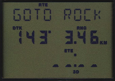
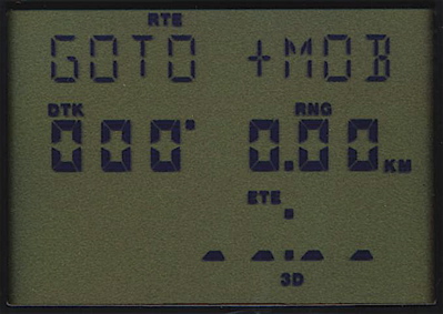
Goto navigation
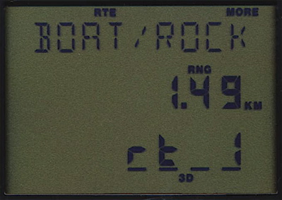
Route displayed
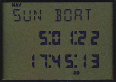
Sunrise / sunset
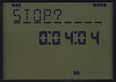
MOB navigation
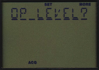
Choose operation level
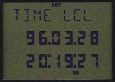
Time screen
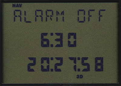
Alarm clock
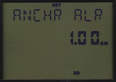
Anchor watch alarm
Timer
Trip planning
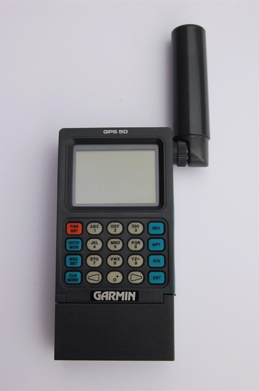
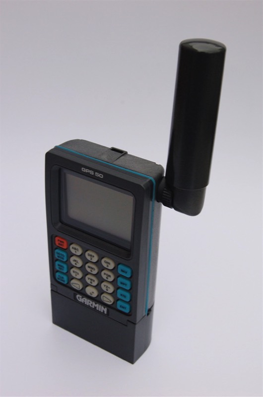
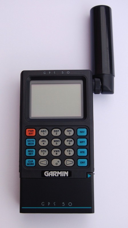
The GPS 50 was the first real handheld manufactured by Garmin in 1991. It was meant to be a marine navigation unit. It has a special alphanumeric / numeric display with indicators. The user could choose between a basic and an advanced operational level. The basic level includes only simple navigation functions. The advanced level adds routes, trip planning, alarms and other features to the navigation menu. The GPS 50 introduces customizable data fields on the navigation screen. A graphic cross track display shows if the user is on track.
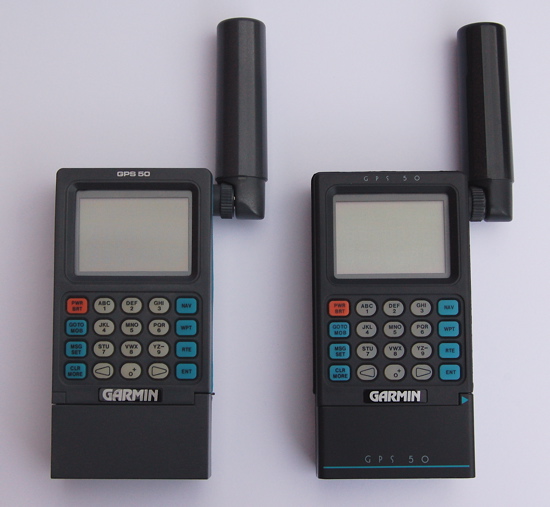
The first version of the GPS 50 has a grey case with blue silicone gasket. Later versions have a black case with a black rubber gasket.
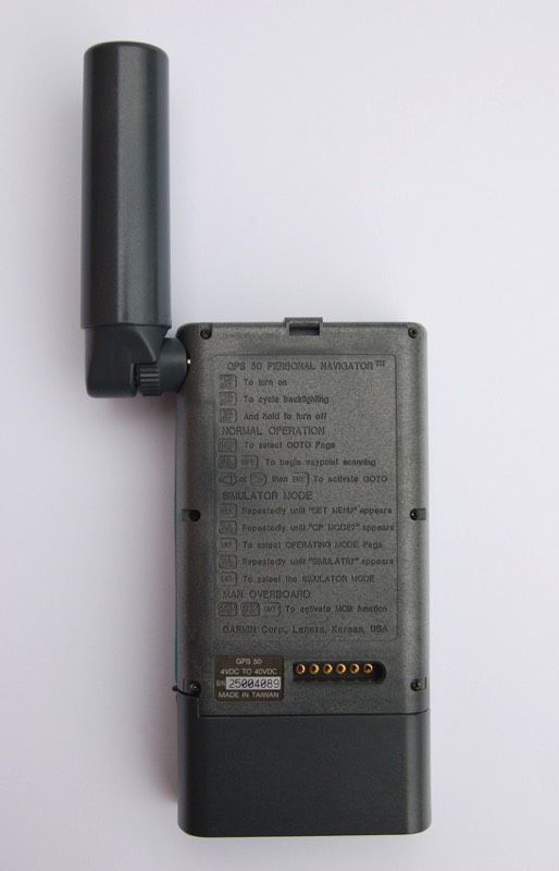
The GPS 50 can store 250 waypoints. Nine routes with up to nine legs are possible. There is a timer, an alarm clock and an anchor watch alarm included. The GPS 50 can calculate sunrise and sunset at a waypoint position. A data output allows communication with other devices. A man overboard function allows quick storing and navigating to the actual position. The GPS 50 displays up to nine nearest waypoints.
The date can't be edited. This causes the unit to remain in the GPS-week cycle of its production if data was lost. Sunrise and sunset calculated is wrong in this case.
Initialization is automatic but can be accelerated by entering an initial position. The receiver is a single channel multiplexer tracking up to eight satellites.
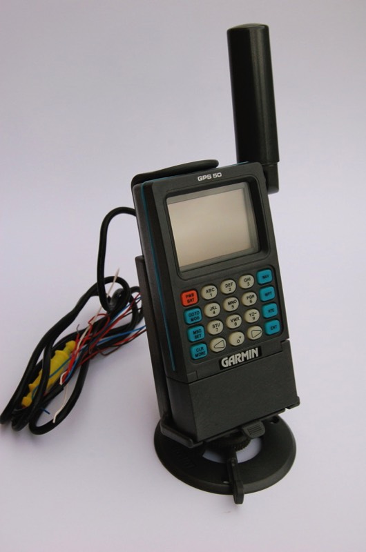
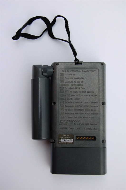
The unit can be operated by four AA batteries, a nicad pack or with external power. A swivel mount allows fixed operation. The antenna can be detached and used with an extension cable.
The first version of the GPS 50 has a grey case with blue silicone gasket. Later versions have a black case with a black rubber gasket.
The GPS 50 can store 250 waypoints. Nine routes with up to nine legs are possible. There is a timer, an alarm clock and an anchor watch alarm included. The GPS 50 can calculate sunrise and sunset at a waypoint position. A data output allows communication with other devices. A man overboard function allows quick storing and navigating to the actual position. The GPS 50 displays up to nine nearest waypoints.
The date can't be edited. This causes the unit to remain in the GPS-week cycle of its production if data was lost. Sunrise and sunset calculated is wrong in this case.
Initialization is automatic but can be accelerated by entering an initial position. The receiver is a single channel multiplexer tracking up to eight satellites.
The unit can be operated by four AA batteries, a nicad pack or with external power. A swivel mount allows fixed operation. The antenna can be detached and used with an extension cable.
Initialization:
The GPS 50 searches for a satellite to load the almanac. It starts with PRN 1, PRN 2 and so on. When ephemeris data for a satellite is present the GPS 50 starts searching for signal.
Features:
250 waypoints
9 routes
Sunrise / sunset calculation
Distance / bearing between two waypoints
Timer
Alarm clock
Anchor watch alarm
Data output
100 map datums
Detachable quadrifilar antenna
External antenna connector
Alarm beeper
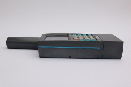
Dimensions: 160mm x 112mm x 37mm
Weight: 460 g
The GPS 50 searches for a satellite to load the almanac. It starts with PRN 1, PRN 2 and so on. When ephemeris data for a satellite is present the GPS 50 starts searching for signal.
Features:
250 waypoints
9 routes
Sunrise / sunset calculation
Distance / bearing between two waypoints
Timer
Alarm clock
Anchor watch alarm
Data output
100 map datums
Detachable quadrifilar antenna
External antenna connector
Alarm beeper
Dimensions: 160mm x 112mm x 37mm
Weight: 460 g