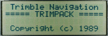
Startup screen
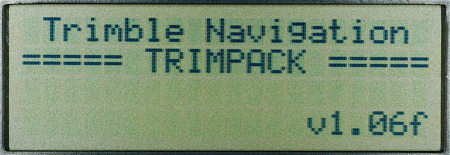
Firmware version screen
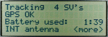
Status screen
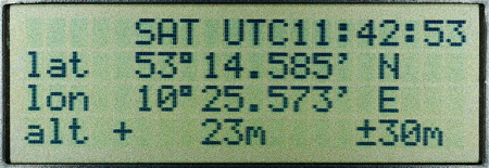
Position screen
Navigation screen 1
Navigation screen 2
Navigation screen 3
Navigation screen 4
Range azimuth screen
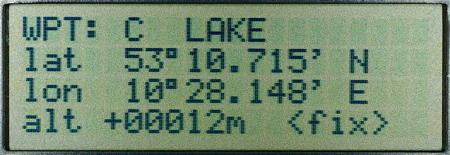
Waypoint definition screen
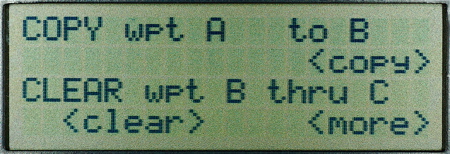
Waypoint clear / copy screen
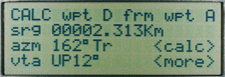
Waypoint calculation screen
Waypoint range azimuth screen

Averaging toggle switch
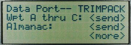
Dataport screen
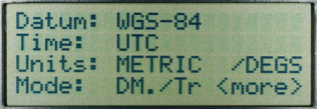
Setup screen
Turning off screen
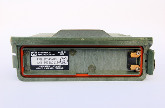
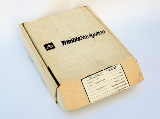
Trimble Navigation Ltd. was founded by Charles Trimble in 1978. Trimble developed equipment for the marine market using the LORAN technology. LORAN was a stationary navigation system, only available partly in coastal areas. Trimble became early interested in the GPS technology and was one of the first companies to make use of the GPS-system.
The Trimpack was developed for military use but is only a L1/SPS receiver. In the first Gulf War there was a strong need for navigation equipment. The military abbreviation for the Trimpack is SLGR, the "Small, lightweight GPS receiver". And for its time it was indeed small and lightweight compared to the manpack, the military standard unit of this time. The Selective availability was switched off during the Gulf War because there were mainly SPS-units in use, the Trimpack and the Magellan NAV 1000.
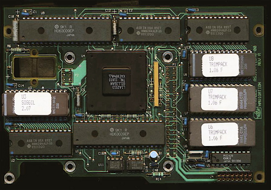
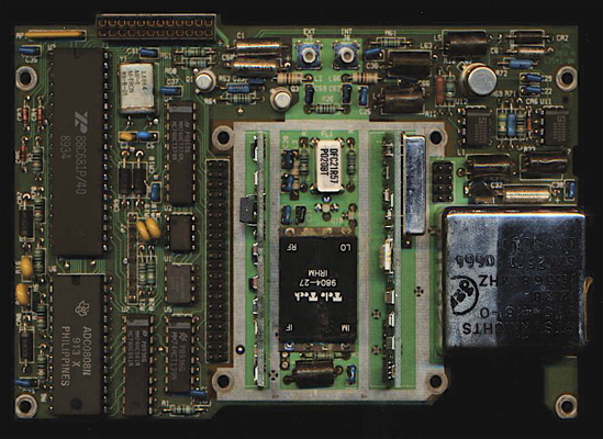
The first Trimpack could track satellites with two parallel channels. It is interesting that there was a complete change in the layout of the Trimpack units that had three parallel channels that were produced only one year later.
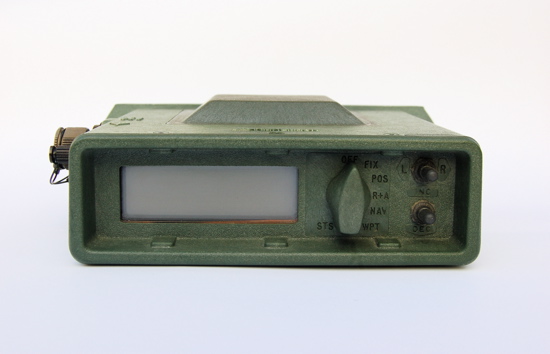
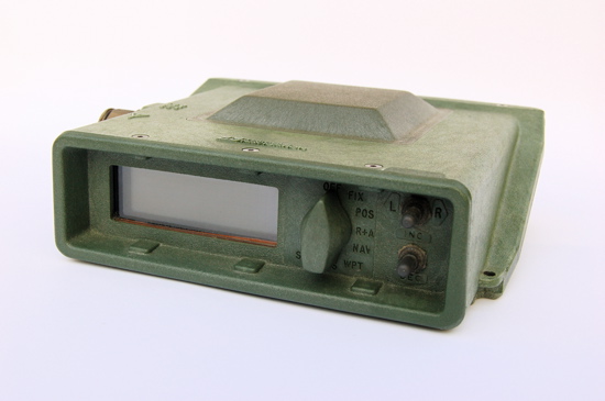
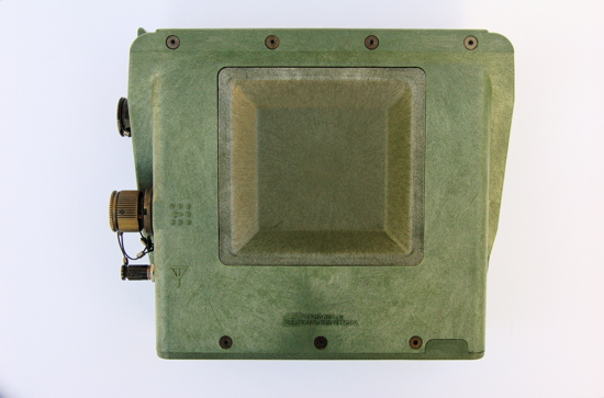
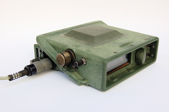
The Trimpack is a very basic navigation equipment using a plain text display. There are simple but powerful features integrated. The user interface consists of a turning switch and two up/down left/right switches, this is the most simple concept ever realized in GPS receivers.
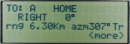
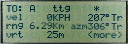
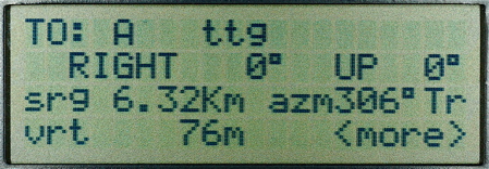
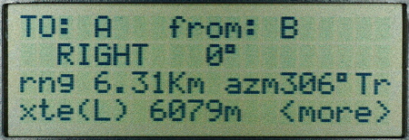
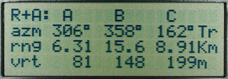
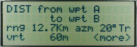
Four navigation screens show data such as range, azimuth, velocity and steering information. An interesting feature is the R/A screen which shows the range and azimuth to three waypoints simultaneously. Only 26 waypoints can be stored (A-Z), but there is a function for waypoint projection.
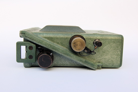
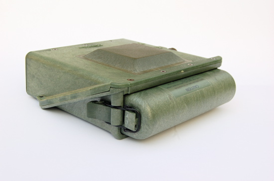
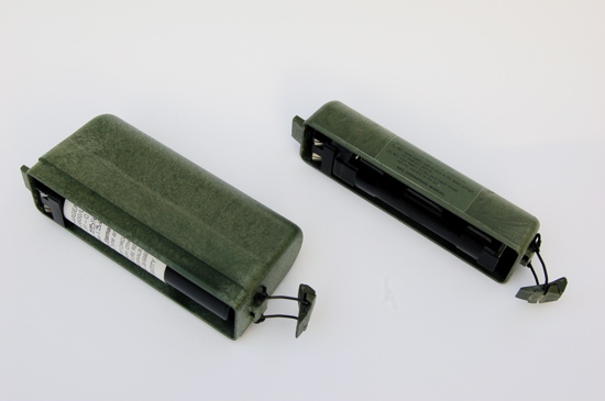
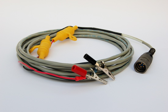
The Trimpack has military-style plug connections for power supply and a data port. It was a portable unit because there were battery cases for 8 AA-batteries or two BA-5800 batteries.
Initialization is an automated feature, there is no user input necessary.
The Trimpack was developed for military use but is only a L1/SPS receiver. In the first Gulf War there was a strong need for navigation equipment. The military abbreviation for the Trimpack is SLGR, the "Small, lightweight GPS receiver". And for its time it was indeed small and lightweight compared to the manpack, the military standard unit of this time. The Selective availability was switched off during the Gulf War because there were mainly SPS-units in use, the Trimpack and the Magellan NAV 1000.
The first Trimpack could track satellites with two parallel channels. It is interesting that there was a complete change in the layout of the Trimpack units that had three parallel channels that were produced only one year later.
The Trimpack is a very basic navigation equipment using a plain text display. There are simple but powerful features integrated. The user interface consists of a turning switch and two up/down left/right switches, this is the most simple concept ever realized in GPS receivers.
Four navigation screens show data such as range, azimuth, velocity and steering information. An interesting feature is the R/A screen which shows the range and azimuth to three waypoints simultaneously. Only 26 waypoints can be stored (A-Z), but there is a function for waypoint projection.
The Trimpack has military-style plug connections for power supply and a data port. It was a portable unit because there were battery cases for 8 AA-batteries or two BA-5800 batteries.
Initialization is an automated feature, there is no user input necessary.
Initialization:
The Trimpack initializes fully automatic, there is no user input necessary.
Features:
26 waypoints
Waypoint projection
Distance / bearing between two waypoints
Distance / bearing to three waypoints
Data in and output
47 map datums
External antenna connector
Dimensions: 210mm x 190mm x 65mm
Weight: 1,5 kg