Startup screen
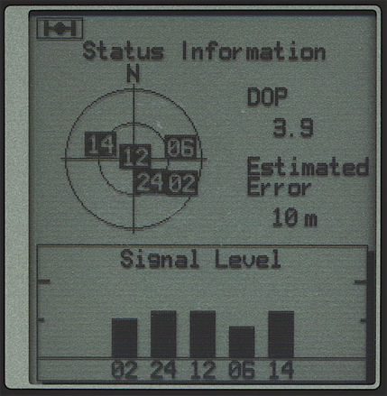
Satellite status
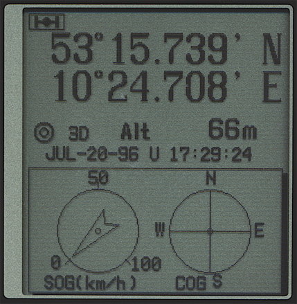
Position
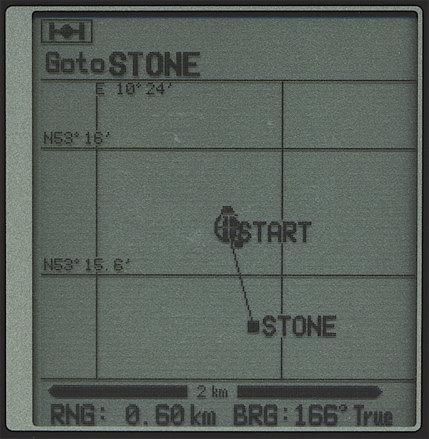
Plotter screen
Crosstrack screen
Navigation screen
Edit menu
Setup menu
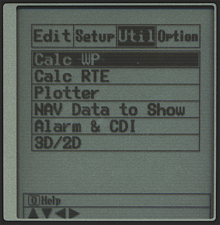
Utility menu
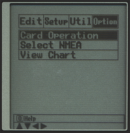
Options menu
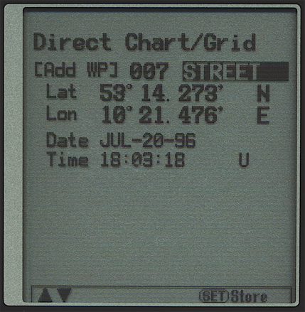
Waypoint entry
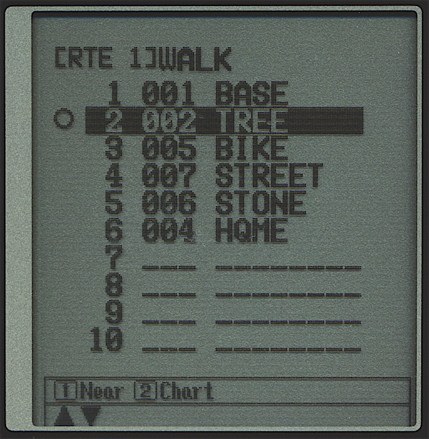
Route edit
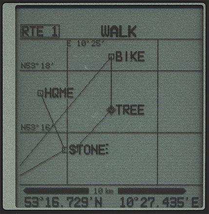
Route plot
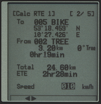
Route calculation
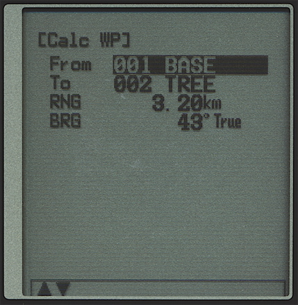
Range / bearing calculation
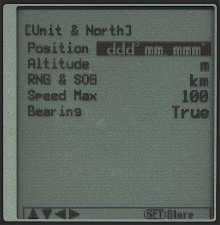
Units choice
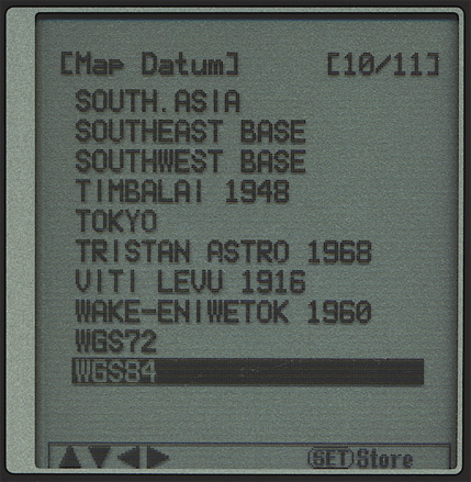
Datum choice
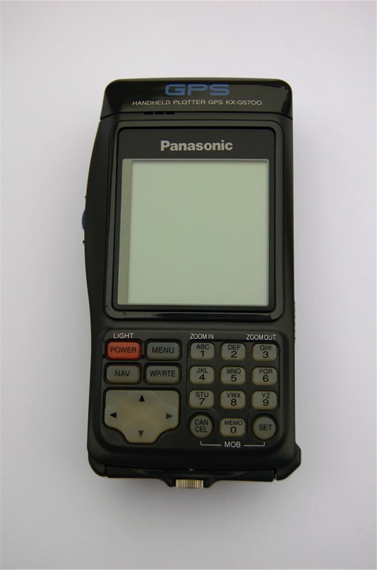
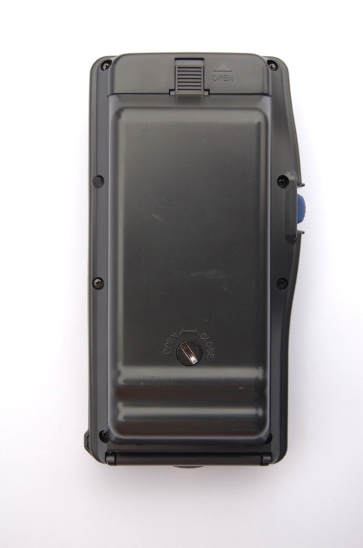
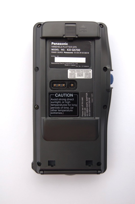
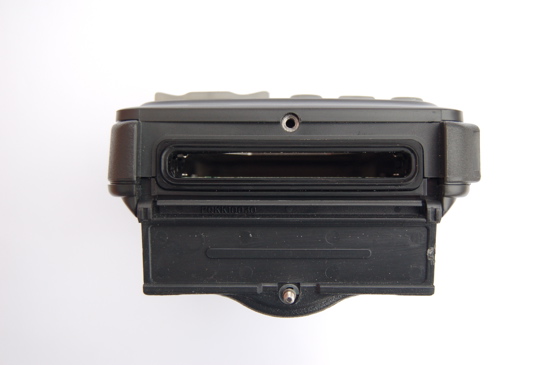
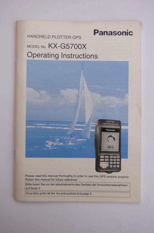
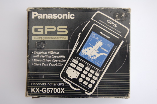
It took Matsushita only one year to present the successor of their first GPS unit: The Panasonic KX-G5700, a portable chart-plotter with graphic display and menu-oriented user interface. In 1994 it was quite ahead of what other GPS manufacturers offered. The KX-G5700 has a PCMCIA slot for chart cartridges or memory modules.
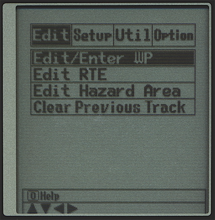
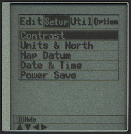
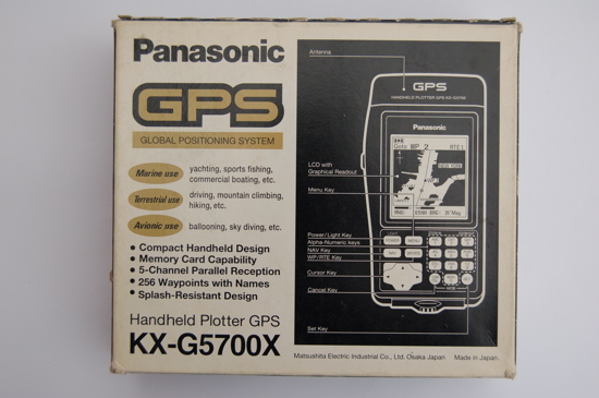
The portable GPS is operated by six AA batteries. It has four menu screens for data entry and settings. The edit menu is used for creating and changing waypoints or routes. Some settings are done with the setup menu, others with the utility menu. The utility menu furthermore allows calculations of waypoints or routes and customizing the data shown on the navigation screens. The option menu provides PCMCIA card operations and activation of the data output.
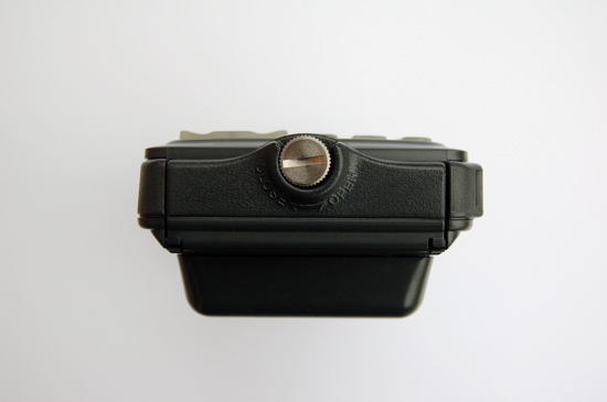
The Panasonic KX-G5700 can be operated quite intuitive thanks to the menu system and direct knob operation. The unit itself can store 256 waypoints and 10 routes with up to 20 legs. The track plotter may record tracks up to 500 datapoints. With a PCMCIA memory card waypoints, routes and tracks can be stored with specified file names.
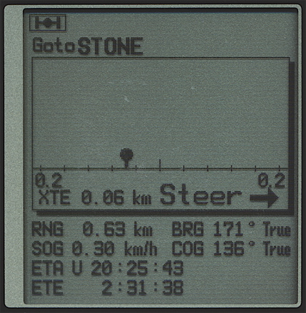
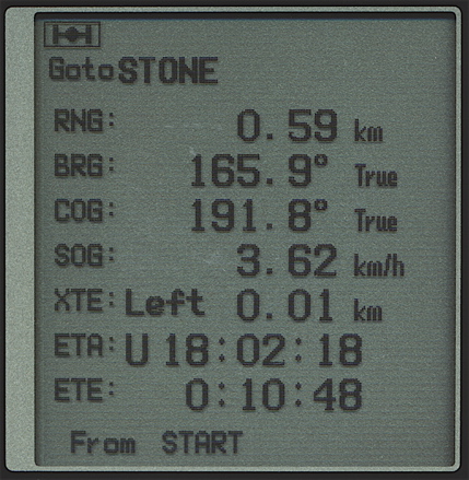
Five navigation screens show data in textual and graphical form. The satellite status screen has a sky view of the used satellites and bar graphs of the signal strength. The position screen is equipped with a nice graphic speedometer and compass. Textual data is shown on the navigation data screen. When not used with a chart card the plotter screen shows waypoints and the actual track. The XTE screen is a graphical "highway" navigation help.
The Panasonic KX-G5700 has five parallel channels for satellite reception, initialization is an automated feature. The unit has a built in lithium battery for memory backup.
The portable GPS is operated by six AA batteries. It has four menu screens for data entry and settings. The edit menu is used for creating and changing waypoints or routes. Some settings are done with the setup menu, others with the utility menu. The utility menu furthermore allows calculations of waypoints or routes and customizing the data shown on the navigation screens. The option menu provides PCMCIA card operations and activation of the data output.
The Panasonic KX-G5700 can be operated quite intuitive thanks to the menu system and direct knob operation. The unit itself can store 256 waypoints and 10 routes with up to 20 legs. The track plotter may record tracks up to 500 datapoints. With a PCMCIA memory card waypoints, routes and tracks can be stored with specified file names.
Five navigation screens show data in textual and graphical form. The satellite status screen has a sky view of the used satellites and bar graphs of the signal strength. The position screen is equipped with a nice graphic speedometer and compass. Textual data is shown on the navigation data screen. When not used with a chart card the plotter screen shows waypoints and the actual track. The XTE screen is a graphical "highway" navigation help.
The Panasonic KX-G5700 has five parallel channels for satellite reception, initialization is an automated feature. The unit has a built in lithium battery for memory backup.


Initialization:
The KX-G5700 initializes fully automatic, there is no user input necessary.
Features:
256 waypoints
10 routes
101 map datums
Data output
Man over board feature
Chart plotter
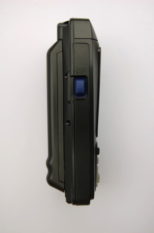
PCMCIA memory operations
Cross track error alarm
Anchor watch alarm
Hazardous area alarm
With 6 AA cells:
Dimensions: 175mm x 92mm x 53mm
Weight: 670g
The KX-G5700 initializes fully automatic, there is no user input necessary.
Features:
256 waypoints
10 routes
101 map datums
Data output
Man over board feature
Chart plotter
PCMCIA memory operations
Cross track error alarm
Anchor watch alarm
Hazardous area alarm
With 6 AA cells:
Dimensions: 175mm x 92mm x 53mm
Weight: 670g