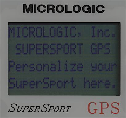
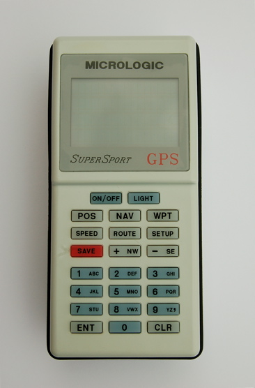
Startup screen
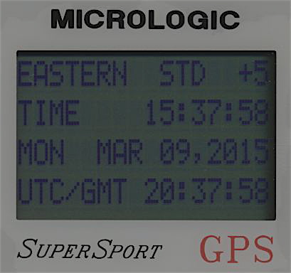
Time / Date screen
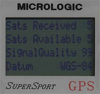
Status screen
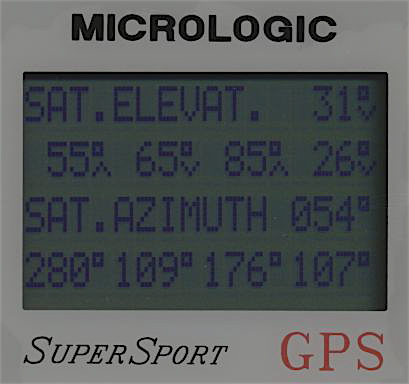
Satellite screen
Navigation screen 1
Navigation screen 2
Navigation screen 3
Satellite selection screen
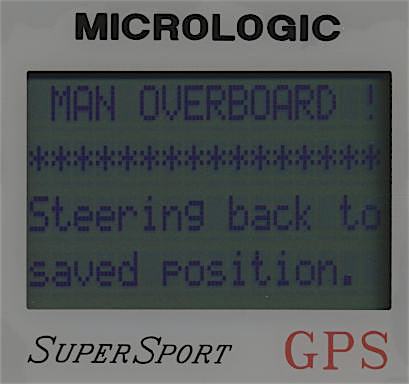
Man overboard screen
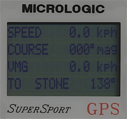
Speed screen
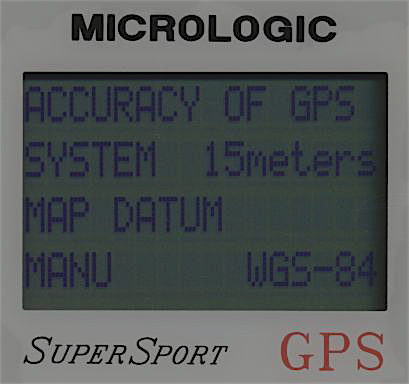
Manual accuracy input
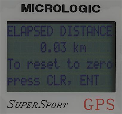
Odometer
Manual correction input
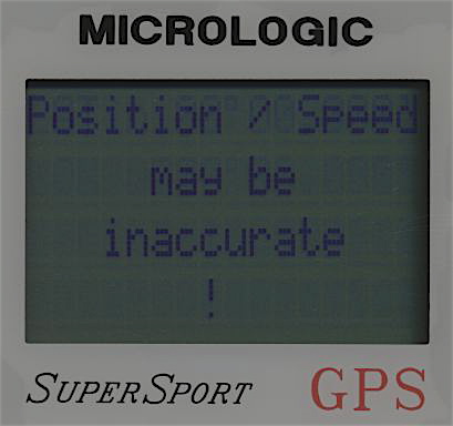
Position lost information
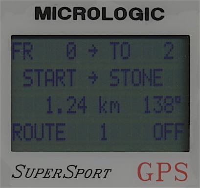
Route screen
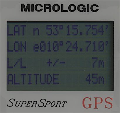
Position screen
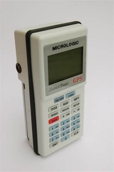
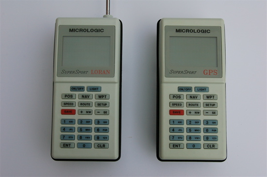
Micrologic had several years of experience with the development of Loran-C receivers. This is the reason why their first portable GPS-receiver is a very sophisticated navigational tool. It is interesting that there were two Supersport units: A Loran and a GPS version.
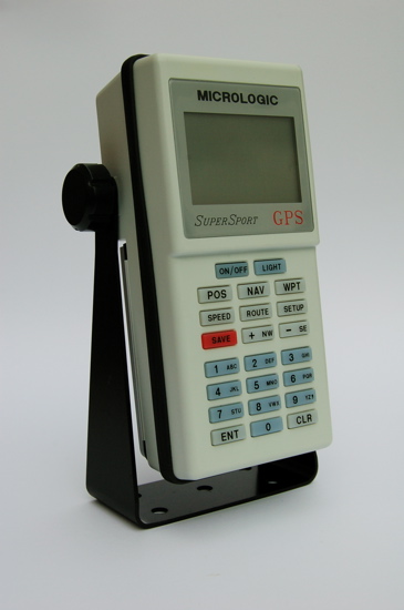
The Micrologic Supersport GPS was introduced 1993. It has a five channel parallel receiver. The LCD screen can only display text and symbols. The Supersport can store 250 waypoints and 9 routes up to 19 legs. It has a whole bunch of functions: man over board, anchor-, arrival- and crosstrack-alarm, a manual correction for the position, MGRS, UTM and Loran TD's can be displayed, there are 134 datums for the position format available, including a user defined datum. The Supersport has four operation modes: car, aircraft, walk and car can be chosen. A satellite schedule with a selectable satellite mask angle may be calculated. The GPS accuracy can be entered manually for the case the selective availability is switched off.
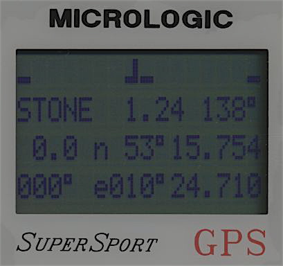
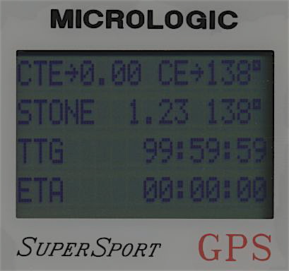
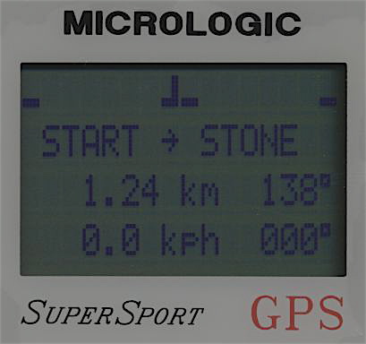
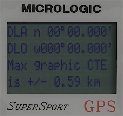
There are three different screens with navigation information available, including graphic crosstrack error display.
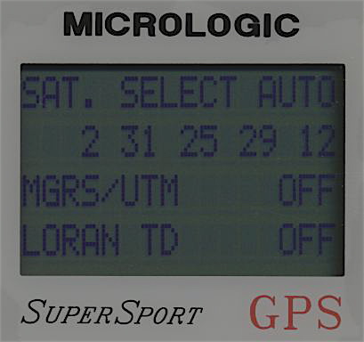
The Supersport includes even the possibility to choose GPS-satellites manually. This is a necessary feature because in case of a new initialization the unit tends to expect "wrong" satellites. To initialize the receiver satellites to be known in view should be chosen manually. When a position is calculated the automatic mode can be switched on. Some older firmware versions may not work properly. There is a mysterious issue with the position calculation. It gets more and more inaccurate until the position is lost.
The Micrologic Supersport GPS was introduced 1993. It has a five channel parallel receiver. The LCD screen can only display text and symbols. The Supersport can store 250 waypoints and 9 routes up to 19 legs. It has a whole bunch of functions: man over board, anchor-, arrival- and crosstrack-alarm, a manual correction for the position, MGRS, UTM and Loran TD's can be displayed, there are 134 datums for the position format available, including a user defined datum. The Supersport has four operation modes: car, aircraft, walk and car can be chosen. A satellite schedule with a selectable satellite mask angle may be calculated. The GPS accuracy can be entered manually for the case the selective availability is switched off.
There are three different screens with navigation information available, including graphic crosstrack error display.
The Supersport includes even the possibility to choose GPS-satellites manually. This is a necessary feature because in case of a new initialization the unit tends to expect "wrong" satellites. To initialize the receiver satellites to be known in view should be chosen manually. When a position is calculated the automatic mode can be switched on. Some older firmware versions may not work properly. There is a mysterious issue with the position calculation. It gets more and more inaccurate until the position is lost.

Initialization:
Satellites known to be in view have to be chosen manually.
Features:
250 waypoints
9 routes
Man over board
Anchor watch alarm
Arrival alarm
Crosstrack alarm
Satellite schedule
Manual position correction
Four selectable vehicles
MGRS, UTM and Loran C position display
Manual accuracy input for GPS-system
Data in and output
134 map datums
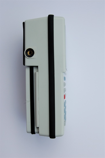
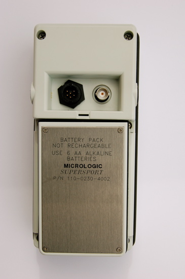
External antenna connector
Alarm beeper
Dimensions: 190mm x 90mm x 65mm
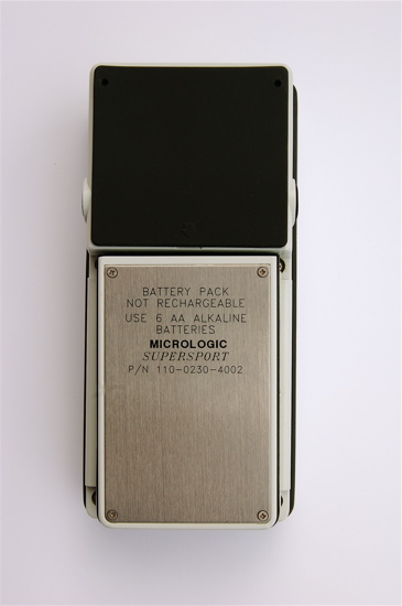
Weight with batteries: 955g
Satellites known to be in view have to be chosen manually.
Features:
250 waypoints
9 routes
Man over board
Anchor watch alarm
Arrival alarm
Crosstrack alarm
Satellite schedule
Manual position correction
Four selectable vehicles
MGRS, UTM and Loran C position display
Manual accuracy input for GPS-system
Data in and output
134 map datums
External antenna connector
Alarm beeper
Dimensions: 190mm x 90mm x 65mm
Weight with batteries: 955g